An increase of 30% in the availability of squares and parks thanks to the recovery of residual spaces, the reduction of 17.45 kilometers of unpaved sidewalks, and a 51% increase in the availability of bike lanes – although these efforts will still leave some points disconnected – are just some of the results from the CityScope platform that City Lab Biobío is implementing in Greater Concepción with the help of MIT. This platform allows for the scale simulation of concrete situations through interaction with a physical model of the city and a results measurement panel.
To reach these conclusions, 75 public projects from different portfolios were reviewed, such as the Museo de la Memoria, the Pedro de Valdivia Mitigation Park, or the construction of public spaces and community facilities at the Llacolén Bridge Link (SERVIU). The study area covered the neighborhoods of Pedro del Río, Aurora de Chile, and Pedro de Valdivia, located on 189 hectares at the southern edge of the municipality of Concepción, bordering the Biobío River, with a population exceeding 15,000 people.
In that area, there is currently a predominance of three main land uses: residential (34%), plots declared as inactive or vacant (16%), and “Others” (17%). The data showed that in the future, the trend will remain towards residential land use, with 56%, due to the implementation of the Urban Housing and Regeneration Plans contemplated by MINVU. Additionally, after the execution of the project portfolio, about 40% of the current vacant sites will maintain their category, while 19% will be transformed into green areas, 18% into residential, and 15% into offices.
The platform also visualized an unbalanced distribution in relation to the proximity to basic services and amenities in the Costanera sector, along with a deficit of places where one can attend cultural activities, perform errands, or simply visit a medical center. The most significant changes in the future scenario are in the proximity to cultural facilities, due to the future construction of the Regional Museum of Memory and Human Rights and the Department of Libraries, Archives and Museums Building indicated in the Aurora de Chile Urban Housing Plan. This is reflected in an average decrease in walking time to access this type of infrastructure by 31.5%, although disadvantaged areas will remain at the edges of the Pedro del Río and Pedro de Valdivia neighborhoods.
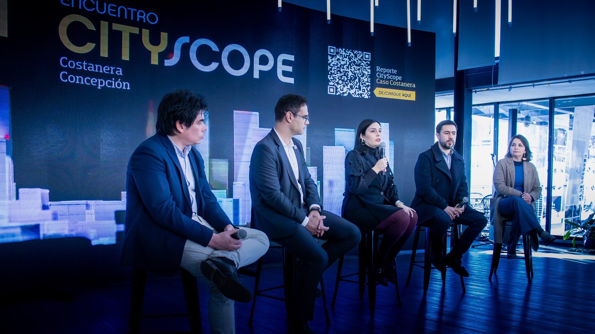
“In Concepción, the experts are already present, so this is a collaboration where we transfer technology and knowledge to understand the community’s needs together, translate that into data with a tool that helps us predict the impact of those needs, and thus contribute to the authority’s decision-making to improve the citizens’ quality of life,” says Luis Alonso, principal investigator at the MIT City Lab, who traveled to Chile specifically to deliver these results.
“The great virtue of this technology is that it will allow for improved analysis and decision-making of projects that are in the planning or development phase, even incorporating the opinions of the citizens themselves in the data collection. In the Costanera sector, we analyzed already defined projects, but the main contribution will be the use of this tool in a preliminary phase to eventually improve those initiatives,” explains Fernando Pérez, principal director of City Lab Biobío.
To feed the base scenario, information was collected at different scales, such as people, households, plots, census blocks, and neighborhoods. Some of the sources of information came from the Population and Housing Census (INE, 2017), Origin-Destination Survey (SECTRA, 2015), Digital Cartography of the Internal Revenue Service, among others.
Each of the indicators was calculated based on the combination of seven interactive plates that operate within the physical interface, each integrating a set of public projects. In total, the interactions allowed the visualization of 128 different possible scenarios.
“We want to have a virtual environment called a digital twin, where we collect various variables of culture, accessibility to public spaces, mobility, and future projects coming to the Costanera. We chose this neighborhood because it represents an aspiration for a qualitative leap in the quality of life of the people of Greater Concepción. It is a sector with a lot of roads, many bridges, a lot of interference, and thinking about public investment from a more systemic perspective allows us to identify critical projects,” says Oscar Ferrel, Division Chief of the Infrastructure and Transport Division of the Regional Government of Biobío.